In Installment 1, I imported a point cloud from LIDAR and created a mesh to plug into Grasshopper. Then, I trimmed the mesh to the site location and applied Mesh2Nurb before starting on Grasshopper. Before scripting, I extracted control points of the existing topography.
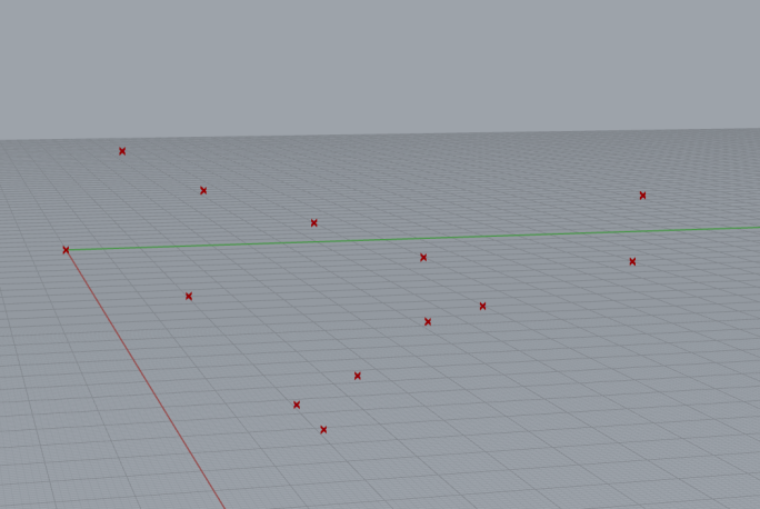
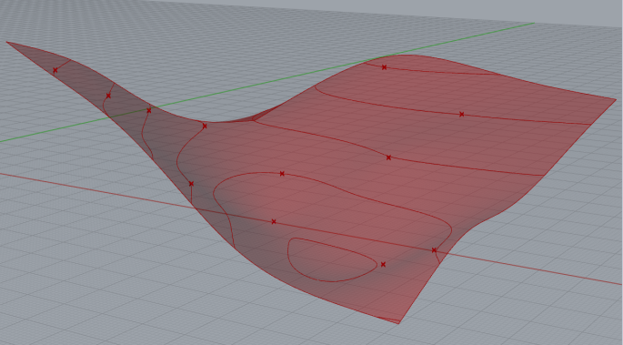
In this installment, I tested some scripts suggested by Generative Landscapes and AAD-Algorithms-Aided Design (Tedeschi) to manipulate control points of a surface. I started small by testing the script on a made-up base data as shown below-
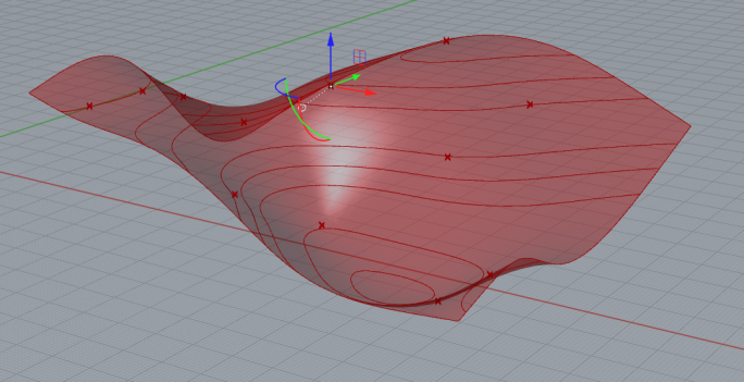
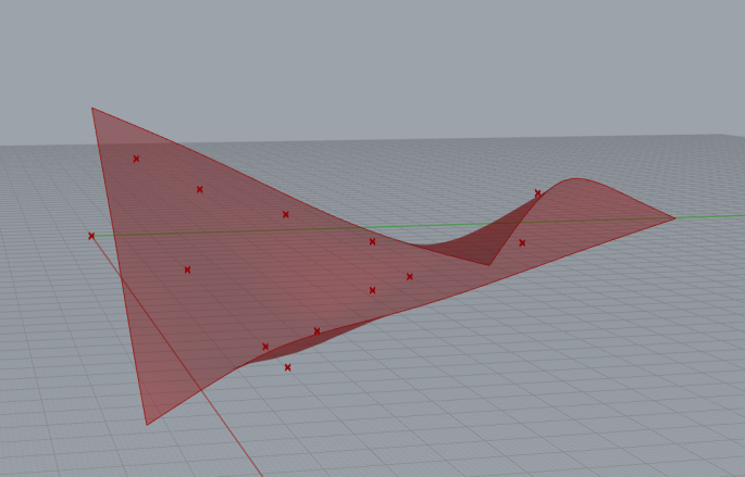
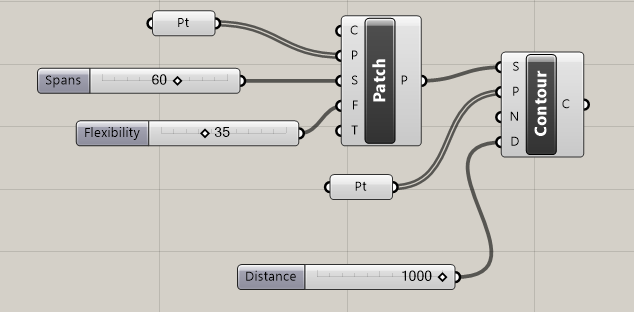
The points are plugged into patch component to construct a surface and sliders for span and flexibility are used to make corrections.
The brep/mesh to contour component helps in visualizing the slopes as seen below-
The grasshopper script as seen below uses patch and contour with respective number sliders to make adjustments.
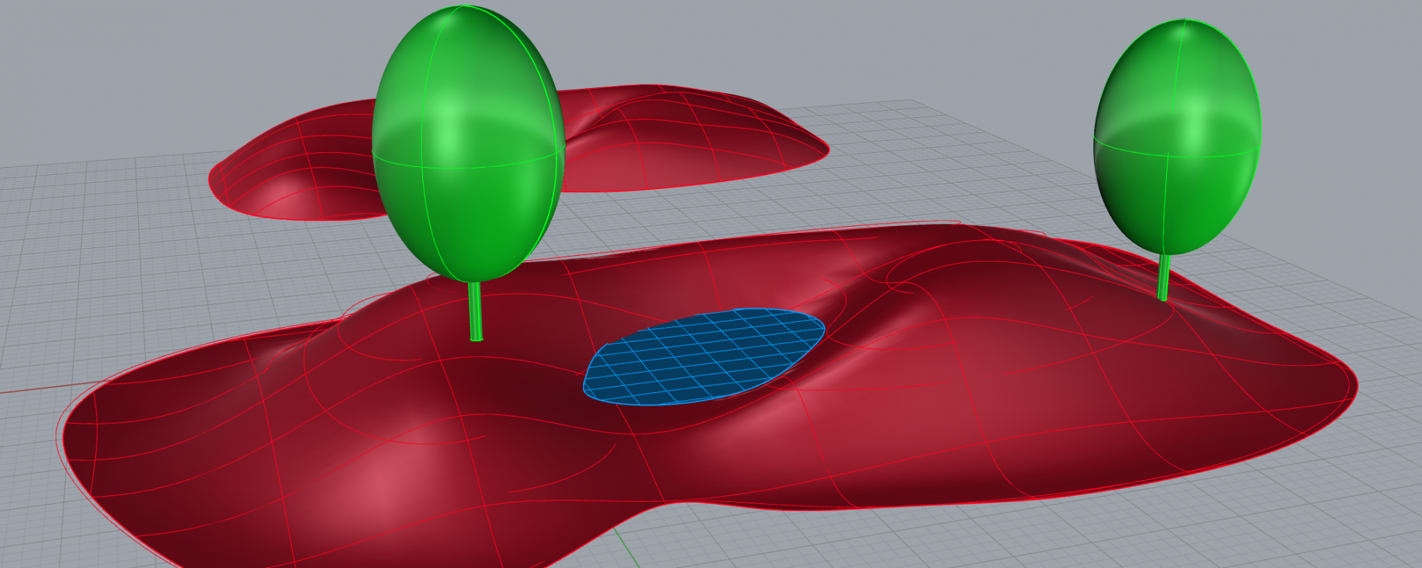
As for manipulating control points to make grade changes, it can now be done easily on Rhino by selecting individual points and changing z direction using gumball.